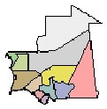
Mauritania is divided into 12 administrative regions and one Capital district, which in turn are subdivided into 44 departments. The regions and Capital district and their Capitals are:
|
Tiris Zemmour |
Area 261,914 km sq |
Capital: F’derik |
|
Adrar |
Area 222,765 km sq |
Capital:: Atar |
|
Hodh ech Chargui |
Area 187,094 km sq |
Capital: Nema |
|
Tagant |
Area 95,186 km sq |
Capital: Tidjikdja |
|
Hodh el Gharbi |
Area 50,444 km sq |
Capital: Ayoun el Atrous |
|
Dakhlet Nouadhibou |
Area 17,158km sq |
Capital: Nouadhibou |
|
Inchiri |
Area 44,837 km sq |
Capital: Akjoujit |
|
Trarza |
Area 68,938 km sq |
Capital: Rosso |
|
Brakna |
Area 33,222 km sq |
Capital: Aleg |
|
Assaba |
Area 36,000 km sq |
Capital: Kifa |
|
Gorgol |
Area 13,891 km sq |
Capital: Kaedi |
|
Guidimaka |
Area 10,753 km sq |
Capital: Selibaby |
|
Nouakchott Area |
Area 1,507 km sq |
Capital: Nouakchott |
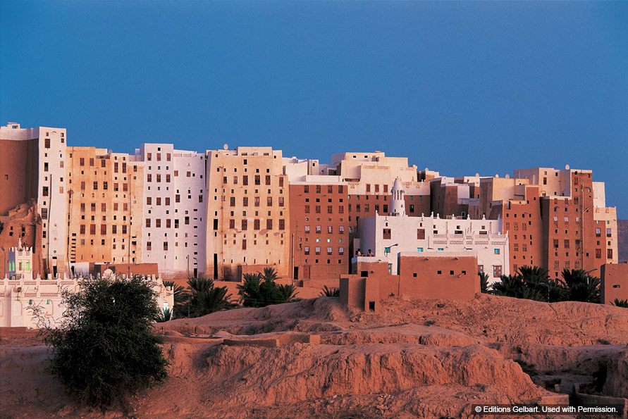
The administrative regions (formerly called cercles) of Tiris Zemmour in the north, Adrar in the center, and northern Hodh ech Chargui in the east, which make up most of the Saharan Zone, are vast empty stretches of dunes alternating with granite outcroppings. After a rain, or in the presence of a well, these outcroppings may support vegetation.
NOAA satellite image
In the populated Adrar and Tagant plateaus, springs and wells provide water for pasturage and some agriculture.
In the western portion of the Saharan Zone, extending toward Nouakchott, rows of sand dunes are aligned from northeast to southwest in ridges from two to twenty kilometers wide. Between these ridges are depressions filled with limestone and clayey sand capable of supporting vegetation after a rain. Dunes in the far north shift with the wind more than those in the south.