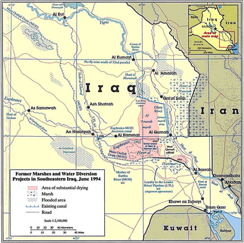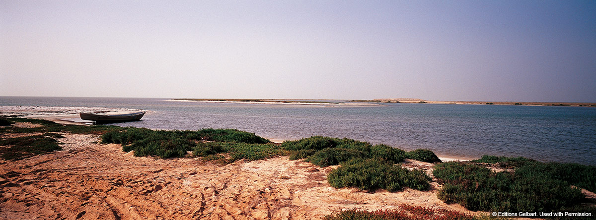
Formed by the confluence of the Tigris and Euphrates rivers in southeastern Iraq, it is Iraq’s only outlet onto water. Shatt al Arab flows southeastward for 193 km, emptying into the Arabian Gulf. For about the last half of its course the river forms the border between Iraq and Iran. The region of the Shatt was an area of plentiful agriculture, where rice paddies and date palm trees were once abundant.
Several cities and towns have been built along its shores: Basra , Umm Qasr and Fao in Iraq, Khorramshar and Abadan in Iran.
In 1639, the Persian and Ottoman Empires signed a treaty which allocated land along the Shatt and in the marshlands according to tribal custom. Tensions between the two empires led to battles that were settled by the signing of the Erzurum Treaty in 1847, which kept all of Shatt al Arab under Ottoman sovereignty and put Abadan under Iranian rule.
In 1937, the Iran-Iraq border was adjusted to pass through the middle of the watercourse for a distance of 6 1/2 km in front of the town of Abadan.
After a number of incidents between Iraq and Iran, the Algiers Agreement of 1975 settled the border in the middle of the Shatt Al-Arab along the 100 km from Khorramshar to the Arabian Gulf. In 1980 Saddam Hussein abrogated the Algiers treaty that he had signed and Iraq invaded Iran.
Shatt al Arab waterway serves as a means of transportation for moving agricultural and other products both within Iraq and to ports for export. Umm Qasr port and the Port of Al Zubayr close to the Kuwaiti border are Iraq’s only deep-water ports and serve as a vital link for importing and exporting goods.
Reference: http://www.iq.undp.org/Infra.html;
http://www.env.go.jp/earth/report/h18-02/e002.pdf